The Joadian Way Ramblette

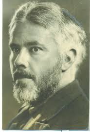
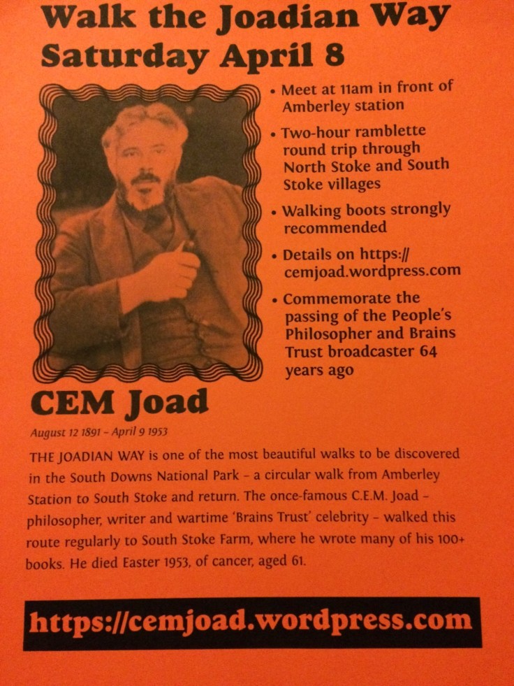
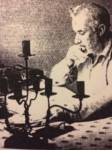
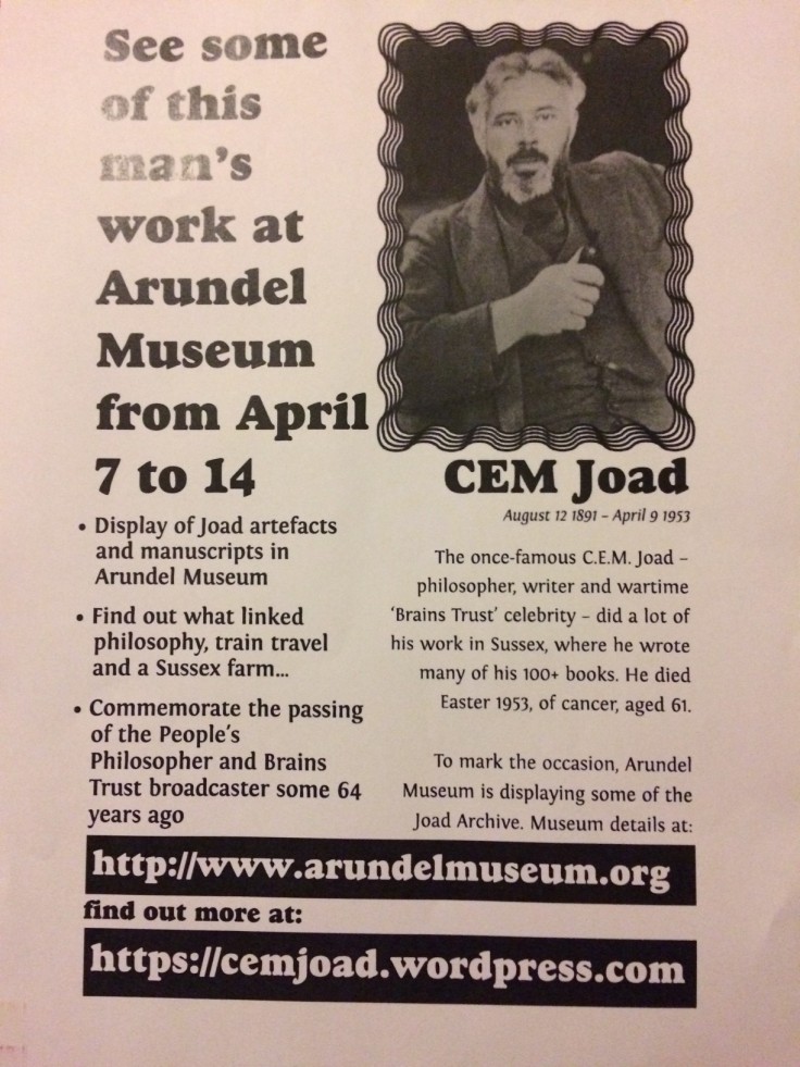
Described as “probably the most beautiful short walk in the South Downs National Park”, the Joadian Way Ramblette took place the weekend before Easter – Saturday April 8 – to mark the 64th Anniversary of South Downs philosopher and writer C.E.M. Joad (1891-1953), who became famous in the wartime Brains Trust.
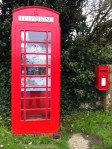
Starting from Amberley Station at 11am, the short walk passes through North Stoke near the South Downs Way (with its unique red Telephone Box/Information Point), and then on to South Stoke where Joad wrote many of his 100+ books in the 1940’s.
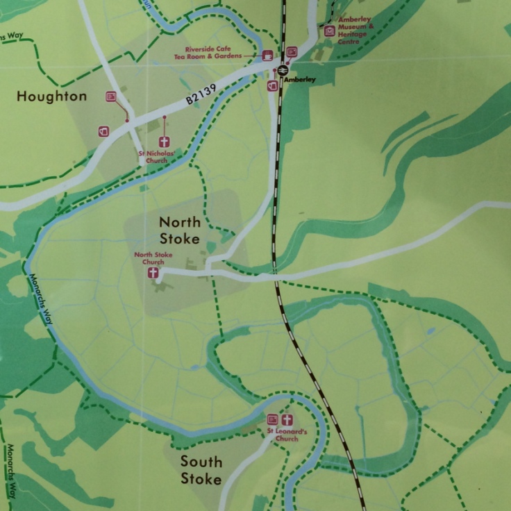
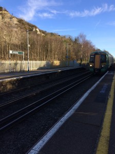
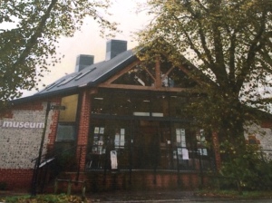
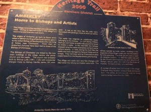 1. Start from the Heritage Trail sign on the wall at Amberley Station, with the Amberley Working Museum opposite. This small village, called Houghton Bridge, is located on the banks of the river Arun and is home to, rather confusingly, both Amberley museum and train station.
 2. Head out of the Amberley Station and immediately cross the busy road – with care. Walk left towards Houghton Bridge [a walk right would go Amberley Village – a good walk from the station].
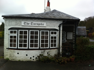 3. Reach the white Turnpike Toll House. just before the bridge.
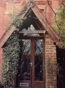
Here it is best to do a little ‘imagineering’ and go back in time to 1814 – over 200 years ago. Imagine no trains, no cars and no restaurants – just boats and a bridge over the river. The only means of crossing the river was the bridge – thus the Toll House to charge for crossing it.
Houghton Bridge was built in 1813, with John Davis being the first Toll “Keeper”. He started work on April 1 1814 and received eight shillings per week.
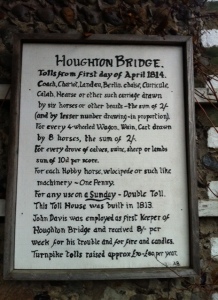 Turnpike tolls raised £70 to £80 per year. The charge of two shillings was made “for every 4-wheeled Wagon, Wain, Cart drawn by 8 horses”; two shillings for “Coach, Chariot, Landau, Berlin chaise, Curricule, Calah, Hearse or other such carriage drawn by six horses or other beasts”; and “for every drove of calves, swine, sheep or lambs sum of 10d [pence] per score”.
“For any use on a Sunday – Double Toll”.
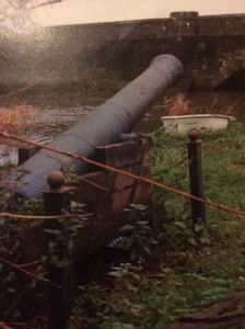
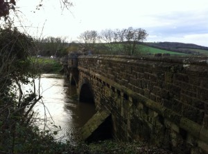 The bridge itself was rebuilt in 1875 by landowners which included the Duke of Norfolk (Arundel Castle) and Lord Leconfield (Petworth House).
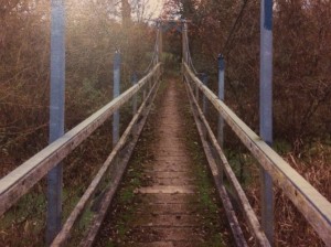
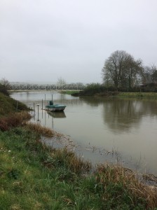
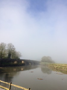
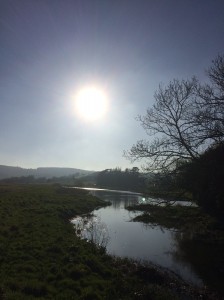 5. Follow the grass path along the river – “The Riverbank Walk”. Keep a look out for the different varieties of wildlife which frequent the River Arun throughout the year – as well as the occasional fisherman
 Turn right and walk up the road until a bright red telephone box is reached at North Stoke. (which has been transformed into a miniature Tourist Information Centre!). This is what it was like before the transformation by the Wiggonholt Association.
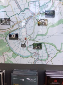
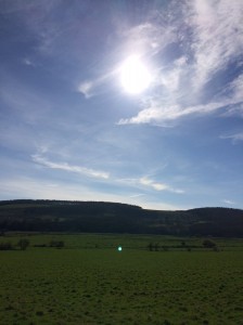
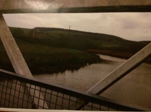
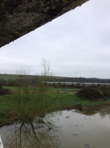
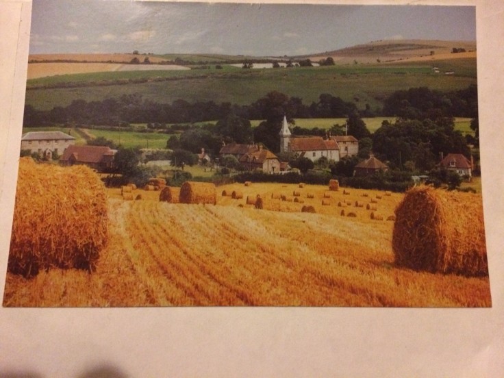
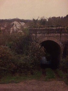
9. The narrow footpath brings you out on to the grand vista of the South Downs.
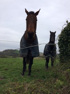
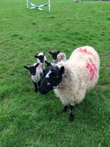
Go straight across the field to the wooded area (any cows, sheep or horses therein are likely to be very curious).
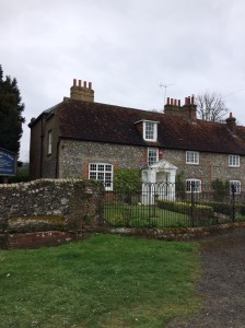
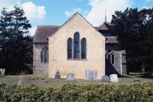
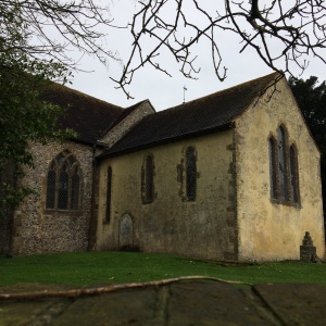
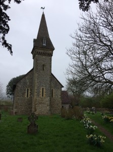
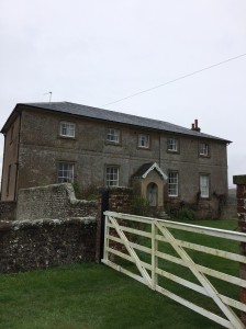
South Stoke Farm and St Leonard’s Church can be seen on the other side of the Arun.
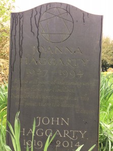
In the cemetery, look out for “The Still Point” inscription by TS Eliot on the gravestone of John and Joanna Haggarty.

Text link to make PayPal donations to Richard Symonds
Thank you

Leave a comment